Huge areas of the country are now like a wet sponge.
The ground simply can’t take any more water.
So there doesn’t need to be much rain to cause quite significant flooding.
Check the weather forecast in your area
A map produced by the Environment Agency shows how the area where ground is saturated with water has spread across Wales and England during one of the wettest Octobers on record.
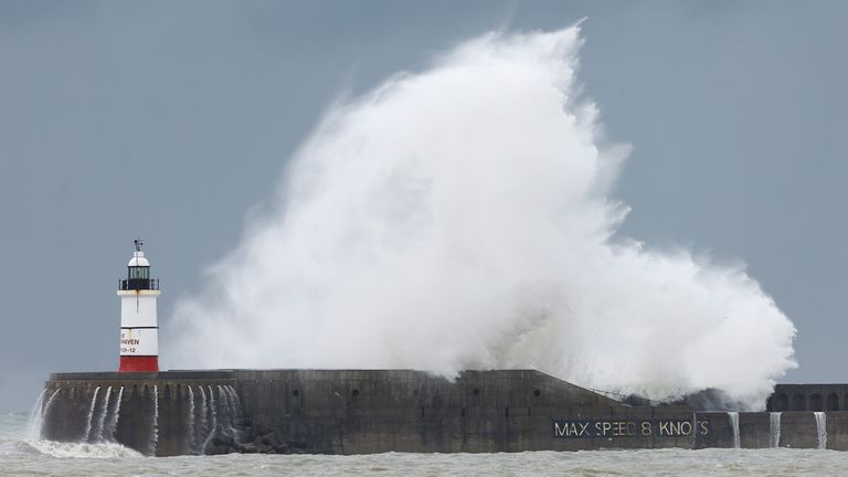
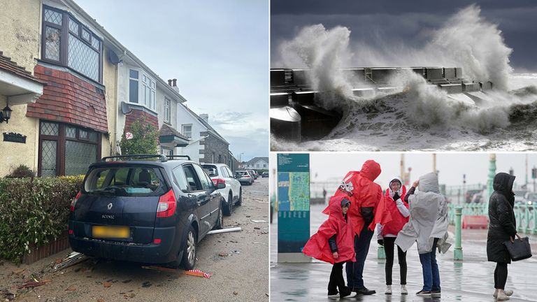
Even before Storm Ciaran barrelled up the English Channel there were several flood alerts and warnings. But the number has been climbing by the hour.
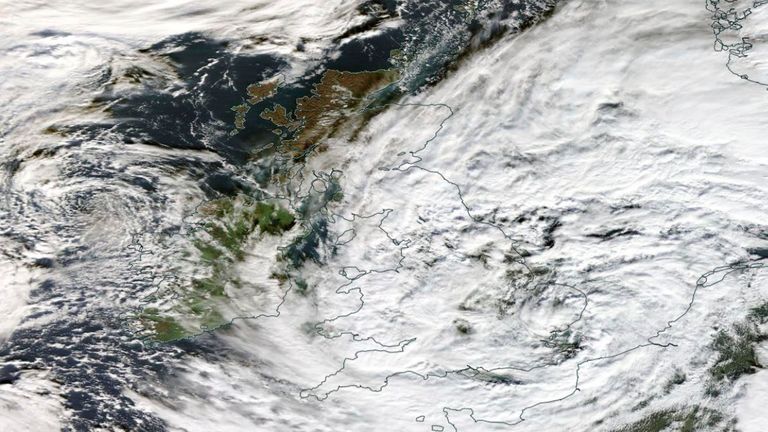
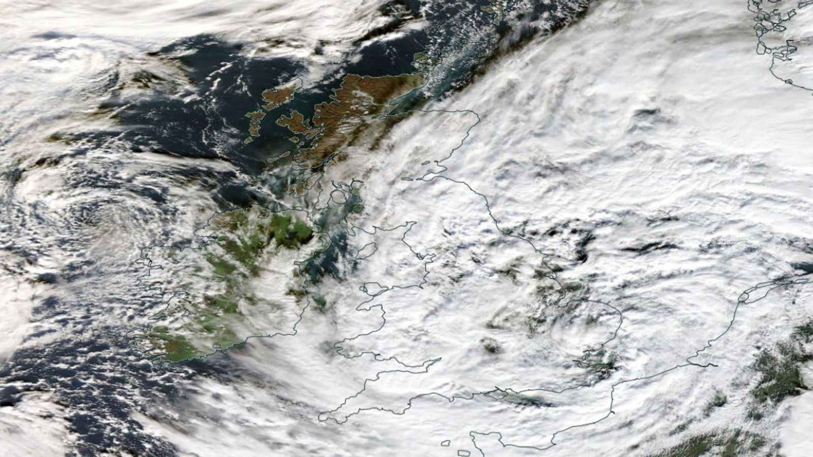
That’s because Ciaran’s progress has slowed almost to a halt.
Bands of heavy rain will spiral around the storm’s centre well into Friday.
In southern England and Wales there could be 20-30mm, around an inch, but as much as 60mm, or 2.5 inches, in some spots.
In north Wales, the southern Pennines, northeast England and eastern Scotland, there could be up to 80mm, more than three inches.
Storms are normal for the time of year.
But the current position of the jet stream means they are tracking further south than usual, so they are affecting more people.
They’re also lingering over the country because of high pressure blocking their progress.
Read more:
Jersey residents say Ciaran impact worse than Great Storm of 1987
Full list of hundreds of schools set to close due to storm
List of Met Office warnings across UK
And the Atlantic Ocean is unusually warm for the time of year, which increases evaporation into the atmosphere – so rainfall is much heavier.
Unfortunately, there is no respite.
There’s another storm hard on the heels of Ciaran, which will bring more wet weather over the weekend.


