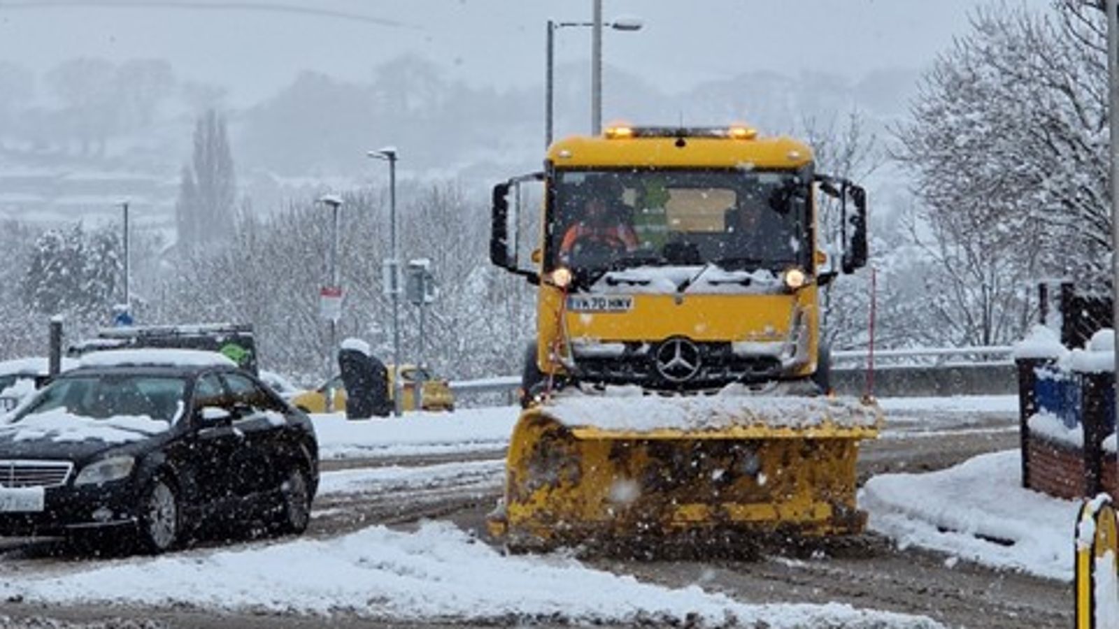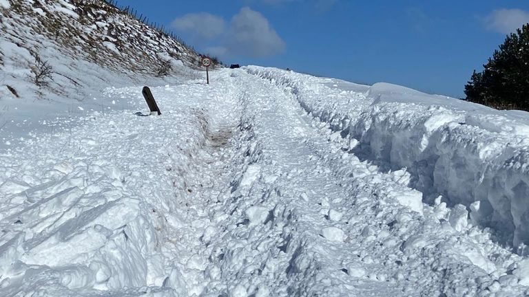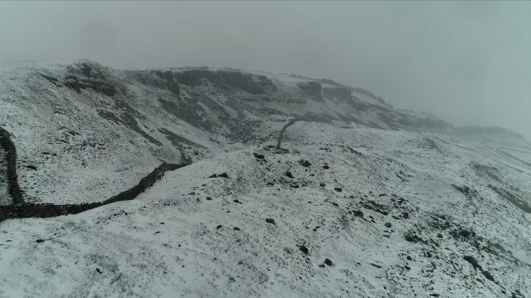
“Hundreds and hundreds” of stranded drivers have been stuck in “never-ending” miles-long tailbacks overnight in heavy snow – and forecasters say blizzards are on the way and will cause “treacherous conditions”.
Travellers have been warned of train and flight cancellations, while the Met Office says the cold snap is moving south, as Storm Larisa continues to batter the country.
Icy surfaces are also likely to develop, it warns, with snow drifts bringing “extra hazards” to the roads.
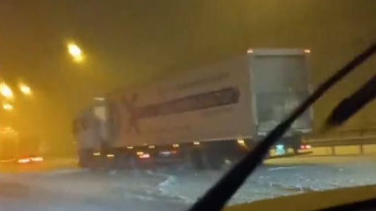
The M62 in Lancashire has already been badly affected with motorists stuck for hours, with jack-knifed lorries blocking parts of the motorway.
National Highways North-West estimated that congestion on the eastbound carriageway, between Rochdale and Saddleworth, at one point stretched to around eight miles.
One driver, Kelly, told Sky News earlier this morning: “We’ve been stuck now for six hours.”
Asked how many other motorists were on the road and how long the queue was, she said: “There’s, I would say hundreds and hundreds and hundreds. It goes back for 16 miles, I think, one way, and I have no idea how far ahead it goes.
“We have managed to keep the heaters on… I have got my 15-year-old son here with me. I think he thought I was being dramatic, but I was like, we need to take blankets, we need to take coats, just in case, so we were well prepared.”
Emma Hamilton, 28, who works for the NHS and is from Yorkshire, said she had been stuck for eight hours travelling from Manchester. She said: “It honestly feels never-ending at this point.”
Network Rail said multiple fallen trees have blocked lines between Manchester and Sheffield, meaning no trains can run, with TransPennine Express and Northern services affected.
Merseyrail, which runs train services in Merseyside and surrounding areas, said its operations would not start until around 10am on Friday due to the severe weather.
The majority of flights departing Liverpool John Lennon Airport were delayed on Friday morning due to “heavy snow falls” and passengers were urged to check with their airlines for further details and updates.
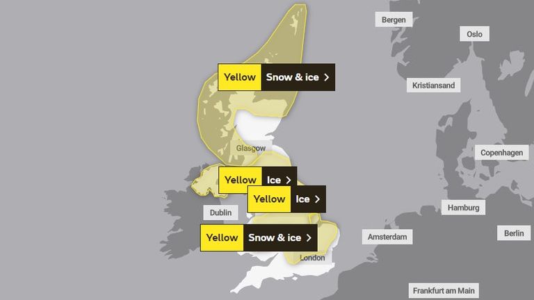
The Met Office has issued a number of yellow weather warnings for snow and ice.
Two ice alerts – one covering parts of Northern Ireland and another across southern Scotland, northern and eastern England, parts of the Midlands and large parts of Wales – are both in place until 10am on Saturday.
A further alert for snow and ice covering large swathes of Scotland is in place until 9am on Saturday.
A fourth for snow and ice for parts of the Midlands and southeast England warned of potentially treacherous conditions until 12 noon on Friday.
Areas of the Highlands could see -17C, after this year’s record low of -16C was recorded at Altnaharra in the region.
People in the south of England are likely to experience the worst of the rain.
‘Gusts of 50mph’ and ‘treacherous conditions’
Met Office meteorologist Alex Burkill said the worst of the weather was expected in northwest Wales and northern England, where “gusts of easily 50mph” are on a collision course with “30 to 40cm of snow”.
A pocket of western Scotland covering Glasgow and the county of Argyll is thought to be the only region untouched by deluges and snowfall.
People living in southern England are expected to bear the brunt of the downpours.
Mr Burkill said: “The combination of heavy snow and gales is why we’re likely to see blizzards and drifting snow which causes extra hazards on the roads.
“In places covered by amber warnings, there will be very difficult, treacherous conditions.
“Ideally, avoid travelling in those periods – but if you have to head out then be aware that journeys could take significantly longer.”
Travel warnings
National Highways had issued a “severe weather alert” for snow across the North East, North West and Midlands regions until 8am on Friday, with motorists being warned not to drive unless absolutely necessary.
Meanwhile, the RAC said on Thursday morning that there had been 50% more breakdowns than usual in areas affected by snow, with some drivers stuck in the snow in areas of South Yorkshire and Wales.
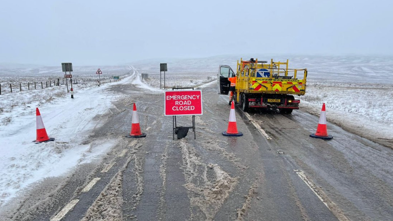
Derbyshire Constabulary said most roads in the High Peak and Derbyshire Dales areas are “impassable”, with officers working with mountain rescue teams to respond to reports of stranded vehicles.
Parts of the A66 in Durham and the A628 Woodhead Pass in South Yorkshire were also shut overnight due to heavy snowfall.
When will the cold snap end?
Friday will begin with widespread snow and rain in the early hours, covering central England and Wales, but the weather is set to clear as the day progresses.
Although the weekend will be milder for a lot of the UK, a yellow snow and ice warning is in place for northern England and a large part of Scotland from 3pm on Saturday until 6am on Sunday.
Meteorologist Alex Deakin said next week could bring a “continued battleground” between colder conditions and milder air pushing in from the Atlantic.
He added there will be “colder interludes” and the “potential for further snow” next week.
It isn’t unusual for the country to experience a cold snap in spring, when conditions are often “highly variable”.
Statistically, the UK is marginally more likely to get snow in March than in December, the Met Office said.
School closures
The cold spell has already caused snow closures across the UK, with some schools shut on Friday due to the Arctic conditions.
Flintshire County Council in North Wales announced that all of its schools will be shut on 10 March – as a large part of North Wales is currently covered by an amber Met Office warning, with 10 to 20cm of snow likely.
At least five schools in the Welsh county of Wrexham have announced on Twitter that they will be closed on Friday.
While Sheffield Council has so far announced at least 10 providers will also be closed.
Schools in Birmingham and Wolverhampton have let parents know about school closures too.

