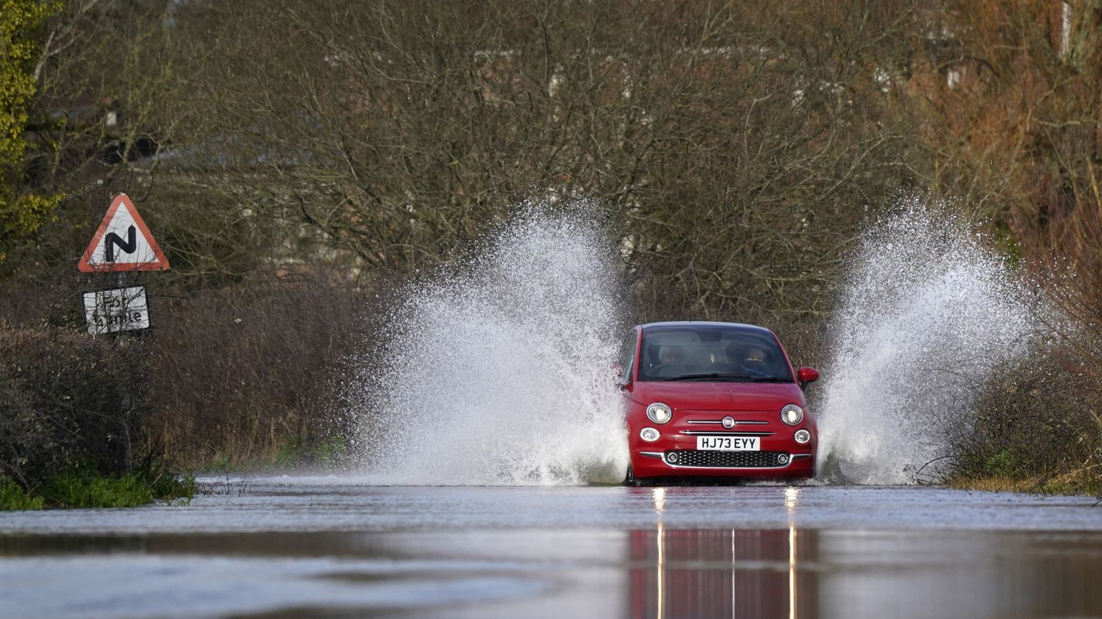
Heavy rain could spark travel disruption across much of the UK, with a warning that flooding in some places could cause “danger to life”.
The Met Office has issued an amber warning for rain across parts of north Wales and northwest England, including Manchester and Liverpool, for 24 hours from midday on Wednesday.
Fast-flowing or deep floodwater is “likely”, according to the forecaster, and a good chance some communities could become cut off, suffer power cuts and see train and bus services cancelled.
A yellow warning for rain covers the north of England, the Midlands and north and central Wales until 6am on Thursday, while another is in place for southern and eastern Scotland from midday today until 6pm tomorrow.
Much of the south coast is likely to see lightning, with a yellow warning for thunderstorms in place from 8am until 7pm on Wednesday.
Get the five-day forecast where you are here
“Some areas are really going to see a lot of heavy, persistent rain through a big chunk of Wednesday,” Met Office meteorologist Alex Burkill said.
“It is going to be a pretty wet picture as we go through the rest of the week for many places.
“There is some uncertainty as to exactly where we are going to see the heaviest rain and where is most likely to be impacted.”
Many places could see 30-40mm of rain, while a few areas may receive 60-80mm as heavy downpours move northwards throughout Wednesday.
There is even a small chance a few upland areas could see up to 150mm, according to the forecaster.
Scientists have said downpours in the storms that battered the UK and Ireland last autumn and winter were made around 20% heavier by climate change.
A warmer atmosphere holds more water vapour, a key factor in climate change driving heavier rainfall.
Read more from Sky News:
Is flight turbulence getting worse?
Public told to report Asian hornet sightings
Chief meteorologist Andy Page said areas exposed to strengthening northerly winds are most likely to see the highest rainfall.
Northern areas are expected to remain cloudy and wet on Thursday, but southern parts can expect drier conditions, with sunshine becoming more widespread by the end of the week.
The news is better for bank holiday Monday, which is expected to be dry for much of the country, feeling warm in the sunshine.


