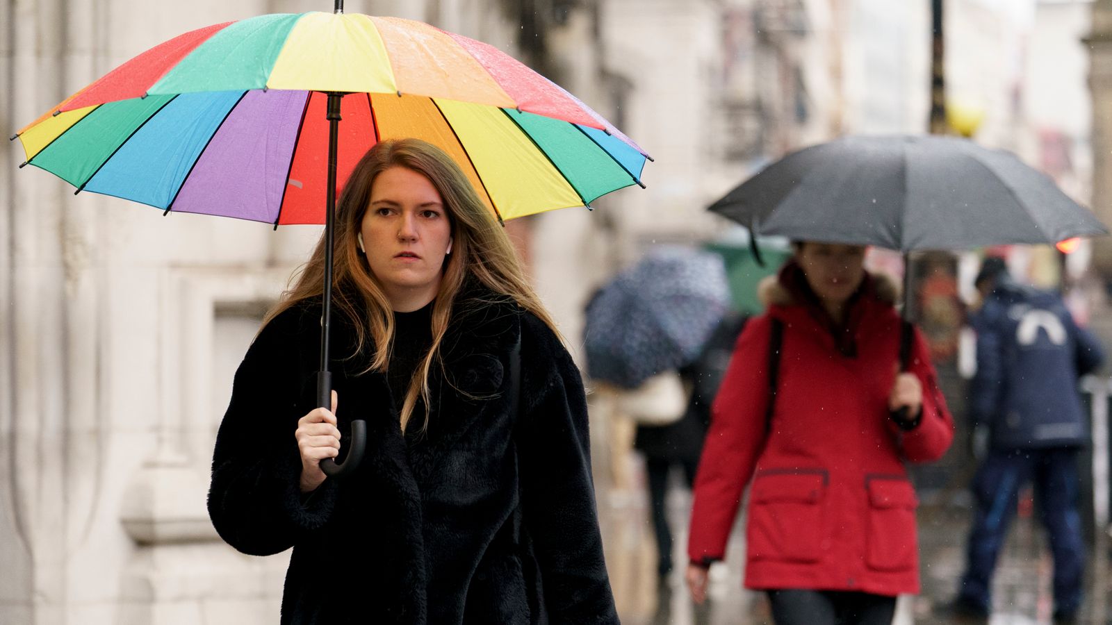
Heavy rain is set to hit many areas of the UK on Thursday, with up to four inches (10cm) forecast for parts of Scotland and three inches (8cm) in the West.
The Met Office has issued yellow warnings for the South West and South Wales, the Midlands, parts of northern England, eastern Scotland and Northern Ireland.
Journey times are likely to be longer as spray and flooding affect roads, while bus and train services will probably also suffer.
Some homes and businesses also face the threat of flooding.
Neil Armstrong, chief forecaster at the Met Office, said: “Low pressure will drive several days of unsettled conditions, with heavy rainfall the main concern.
“Higher ground in eastern Scotland could even see up to 100mm of rain.
“The rain will be falling on already very wet ground and where there is still lying snow in the northwest of England and parts of Scotland, snow melt will exacerbate the risk of flooding”.
Wet and windy conditions will replace the previous cold spell that has seen frosts, snow and ice in some regions, from Wednesday night.
Read more:
Find out the forecast for where you live
In pictures: Snow blankets parts of the UK
Western parts of the UK are forecast to be the worst hit, as heavy rain falls on already sodden ground.
More rain will arrive on the back of another wave of low pressure, causing further problems during Friday and Saturday morning.
There are currently more than 20 flood warnings and over 110 flood alerts in place across England.
RAC Breakdown spokesman Simon Williams urged drivers to be wary.
“Drivers in the worst-affected areas will need to be on their guard for floods and standing water,” he said.
“Anyone tempted to drive through water that is too deep for their vehicle is risking their safety and a very expensive repair bill near to Christmas or, worse still, the prospect of an insurance write-off.”


