


Heavy rain is expected to bring travel disruption to parts of the UK with more than 40 flood warnings in place.
Forecasters said there was a decreasing risk of snow, with temperatures expected to rise above average in the coming days and conditions set to be “more wet and windy”.
The Met Office has issued yellow weather warnings for rain across parts of southern England, the Midlands and Wales until 6pm on Monday.
Follow live: Significant temperature change on way later this week
A yellow rain warning is also in place for North East England, Yorkshire and the Humber until 9am on Tuesday.
In northern Scotland, a yellow warning for ice is in force until 11am on Tuesday.
The Environment Agency has issued 42 flood warnings, mainly in Dorset and Somerset, as heavy rain causes river levels to rise.
The conditions have already caused significant disruption for motorists and rail passengers.
National Highways said the A303 in Somerset was closed eastbound between the A37/A372 at Podimore and the A359 near Sparkford because of flooding, with no time estimated for when it would reopen.
Flooding has blocked the railway line between Taunton and Westbury, affecting Great Western Railway (GWR) and CrossCountry services.
GWR trains to London are being diverted via Bristol, extending journey times by up to two hours.
Services were already reduced due to industrial action by train drivers.
Extreme rainfall in the Crewkerne area of Somerset means fewer trains than normal can run between Exeter St Davids and Yeovil Junction.
Passengers were advised not to travel between Salisbury and Exeter.
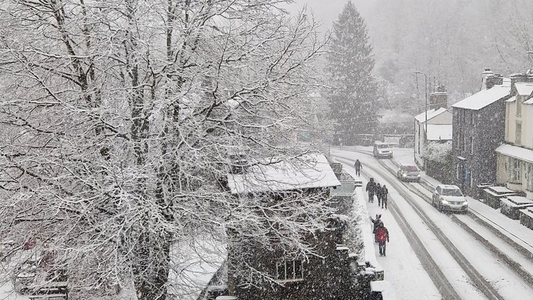
Snow brings chaos to Cumbria
Read more:
Find out the forecast for where you live
In pictures: Snow blankets parts of the UK
Wintry conditions swept across many parts of the UK in the last few days – in Cumbria, the emergency services had to rescue drivers from cars trapped in deep snow.
Met Office spokesman Grahame Madge said the risk of snow would “more or less be confined to Scottish mountains” by the end of the week.
He added: “Temperatures are rising from below average now to above average.
“Overnight [on Monday], in parts of the North, frost remains still a risk.
“Tomorrow could see frost from Scotland down into central southern England.
“In general, conditions will be more wet and windy.”


