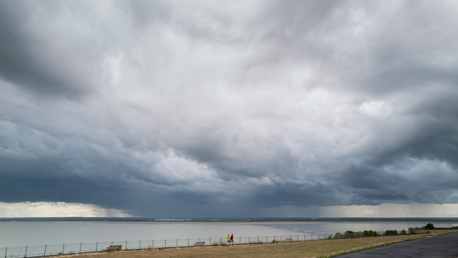
Forecasters have upgraded a weather warning for a large part of central England with areas told to expect an increased risk of lightning and heavy rainfall.
The thunderstorms warning across the Midlands was upgraded to amber from yellow by the Met Office on Monday afternoon.
The warning, in place until 7pm on Monday, means the region can expect to see heavy rainfall, lightning, strong winds and hail.
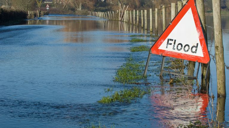
The Met Office said road closures, rail disruption and power cuts are likely – while some communities could be temporarily cut off by flooding.
The amber warning zone also stretches down to the north-western edge of London.
Three other yellow thunderstorm warnings remain in place until 9pm on Monday and cover parts of Scotland, Northern Ireland, much of southern and central England and most of Wales.
Forecasters have said the heavy downpours bring the increased risk for flash flooding and may cause disruption to motorists on the roads and disrupt bus and rail services.
The forecast follows a weekend of scorching temperatures and heavy rainfall.
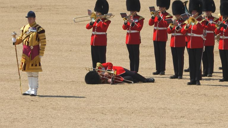
A temperature of 32C (89.6F) was recorded at Kew Gardens in southwest London on Sunday and much of the UK was hotter than Monaco and the French Riviera where temperatures languished in the low 20s.
However, temperatures fell just short of this year’s record high of 32.2C (89.96F) which was reached on Saturday in Chertsey, Surrey.
A total of 28.6mm of rain fell in Charlwood, Surrey, on Sunday afternoon, which is almost half the average for the whole month of June.
Met Office meteorologist Dan Stroud said potentially a month’s worth of rain could fall within a short period.
He said: “Parts of Wales and England will see 30mm of rain in an hour, 60 to 80mm in some spots.
Read more:
Check the forecast for your area
How to sleep better in hot weather
“North parts of Northern Ireland, southwest Scotland and the Highlands could see 20 to 30mm of rain in an hour during the thunderstorms, and 40 to 50mm in some spots.
“Potentially we are looking at a month’s worth of rain falling.
“The highest temperatures will be around Birmingham and in Wales.”
A heat-health alert for hot weather remains in place until 9am on Tuesday.
The five regions of England under an amber alert – when the heat is likely to impact the wider population, not just the most vulnerable – are:
• West Midlands
• East Midlands
• East of England
• South East
• South West
A further yellow alert – when the weather is likely to impact vulnerable groups such as those with underlying health conditions, or the elderly – is in place for:
• North East
• North West
• Yorkshire and Humber
• London
The alert, issued by the UK Health Security Agency and the Met Office, covers England and provides warnings of hot weather which might impact the health of members of the public – and is designed to assist healthcare workers who are managing periods of “extreme temperatures”.
Slightly cooler temperatures are on the way from Tuesday onwards, with Thursday and Friday in the mid-high 20s, Mr Stroud added.
He said: “We are likely to see the hot weather continue although high pressure is starting to build in.
“That’s going to kill off the showers and moving into next week the temperature will dip slightly to the mid to high 20s.”


